SES adjust 3D TSD Geosteering Software
SES adjust 3D TSD Geosteering Software

Maximize confidence and get better results through superior engineering...
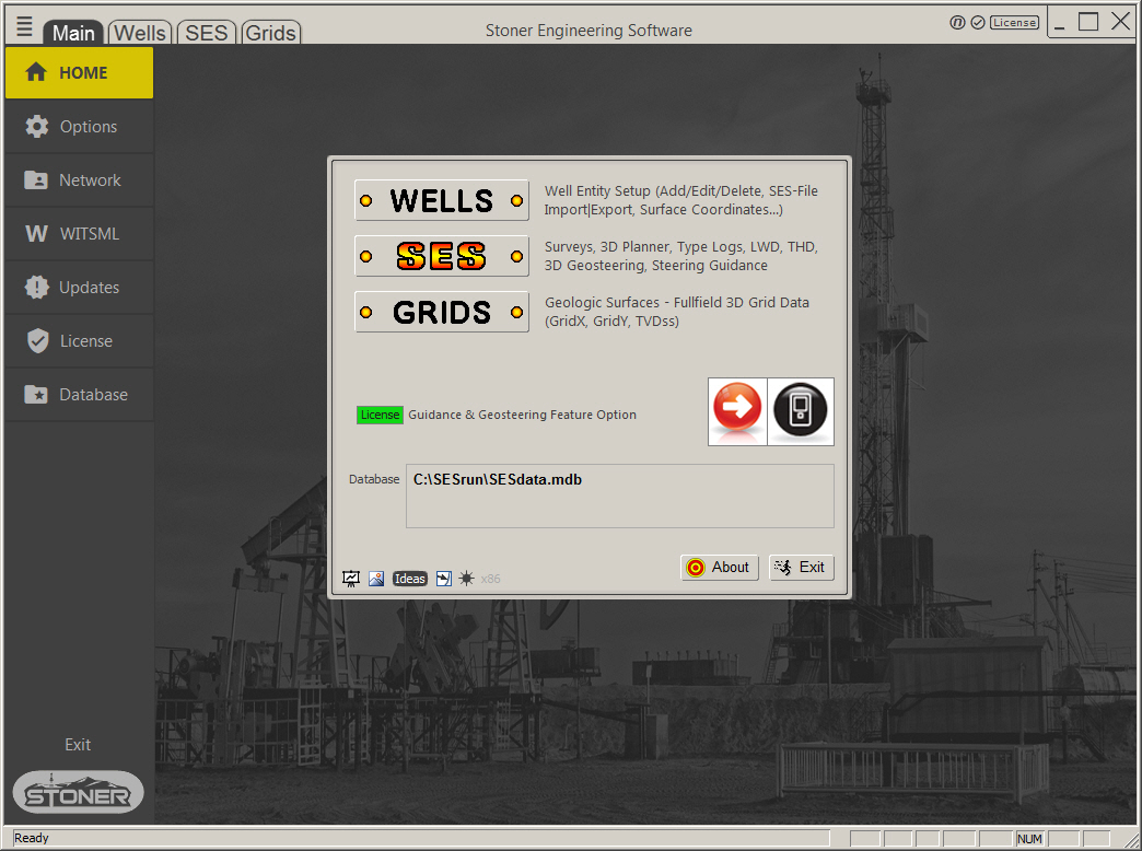
SES by Stoner Engineering
Drilling a predetermined geometric horizontal well path does not lead to commercial success because the stratigraphic location of rock holding access to sought-after hydrocarbons is not accurately known geometrically at undrilled/unlogged depths. This structure mapping reality extends from nature's perpetual unpredictability and the economic unfeasibility to reduce 3D/global-coordinate control point location uncertainties of grid data to sufficient accuracy. As a result, skilled horizontal payzone drilling is governed by correlation principles and regional experience to geometrically understand stratigraphy and to steer. ENTER, SES.
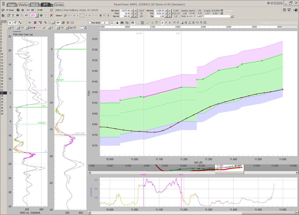
With SES you can pinpoint MD intervals of certain wellbore stratigraphic location and discover structural detail at local horizontal drilling scale. Stratigraphic clarity lies much closer to core than to vertical well log, but such certainty intermittently comes and goes—often spanning dozens or hundreds of MD feet at a time—making both "certainty" and "scale" in a sense, muddled. But not to worry because in practice good steering derives from only sporadic knowledge of where the wellbore stratigraphically is, relatively.
SES well log correlation was founded in 2006 by transforming LWD signal using 3D vector geometry between localized 3D wellbore and 3D beds oriented in true stratigraphic depth (TSD) direction. This unique approach maximizes the odds of finding local 3D bed linearity because when the wellbore turns left and right in sloped environments and true vertical thickness (TVT) changes with true dip along the lateral...it's all taken into account by original design. It enables sharper focus on what nature is doing...to recognize real curving and faulting instead of apparent changes attributable only to wellbore traverse. The end result includes needing the fewest number of hole section "blocks" to capture and share utmost reliable interpretation. SES applies hands down superior logic to competitor software, which are all 2D TVT at the comparable spot under their hoods.
SES contains fully-integrated application of multiple exclusive petroleum engineering principles, technologies, and subtle but critically helpful software features including a one-of-kind geosteering guidance engine. Distinct cross sections and analyses—in the MD domain instead of the projected-into-2D vertical section domain—are entirely made possible only with SES.
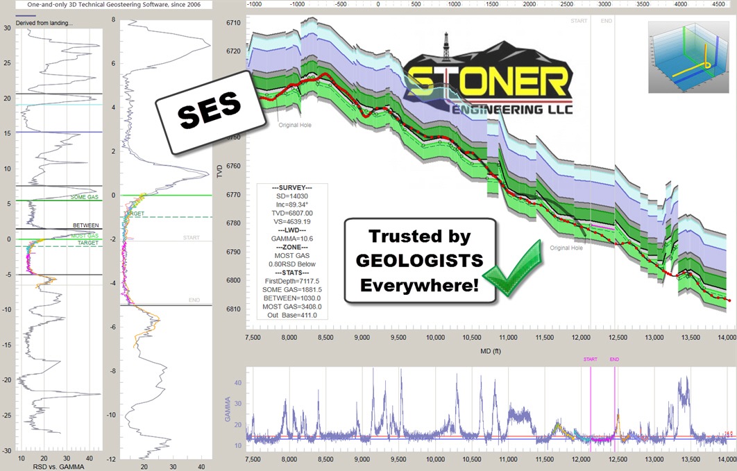
Time-tested and industry-hardened for 19 years, thousands of people from 265+ companies have drilled and studied horizontal wells with SES for good reason...the collective tech within just works better to perform the scientific craft that is technical geosteering.
SES...trusted by geologists everywhere to confidently 3D-interpret any high angle or horizontal well payzone, to help empower intelligent decision making at all phases of modern-day reservoir development.